WherePCF

WherePCF
A control to embed a map based on OpenStreetMap data.
With this PCF, users are empowered to effortlessly explore and discover desired locations using Natural Language. Seamlessly integrating with the robust open source public API, specifically the esteemed https://nominatim.openstreetmap.org, this PCF harnesses its capabilities to procure an extensive list of locations that perfectly align with the user's natural language query.
By doing so, it unveils an immersive experience by presenting not only the complete name of the locations, but also their precise geographic coordinates, enriching street maps, and insightful categorization of each retrieved place.
Author: Pedro Esteves
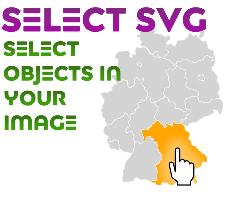
Select SVG
A control that shows an SVG-image and lets you select objects in that image (after you set up the...
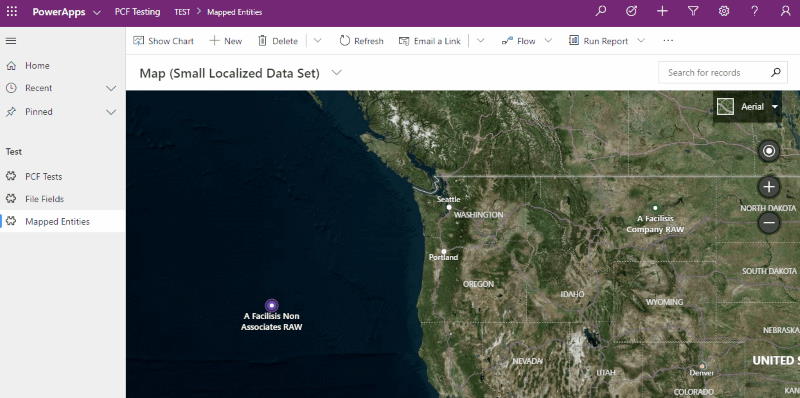
Bing Maps PCF Control
A control that allows you to display view information containing latitude and longitude informati...
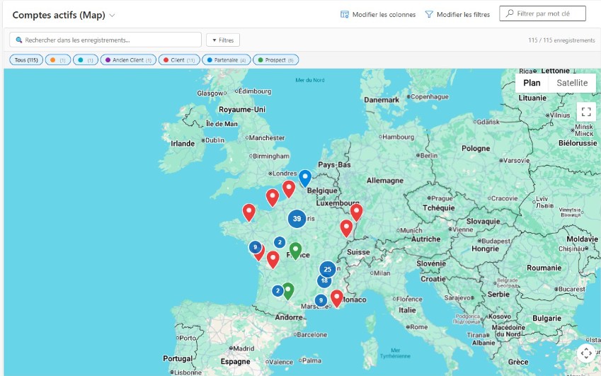
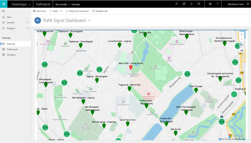
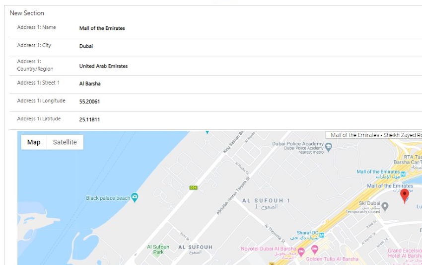
Google Map Location
A control to get detailed address data from Google Maps, search by location, get current location...
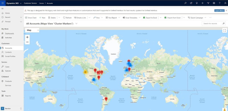
Google Maps Marker Clusterer
A control to render a view of records on Google Maps using the location information (lat/long) ag...